Login
Menu
Return
Resources
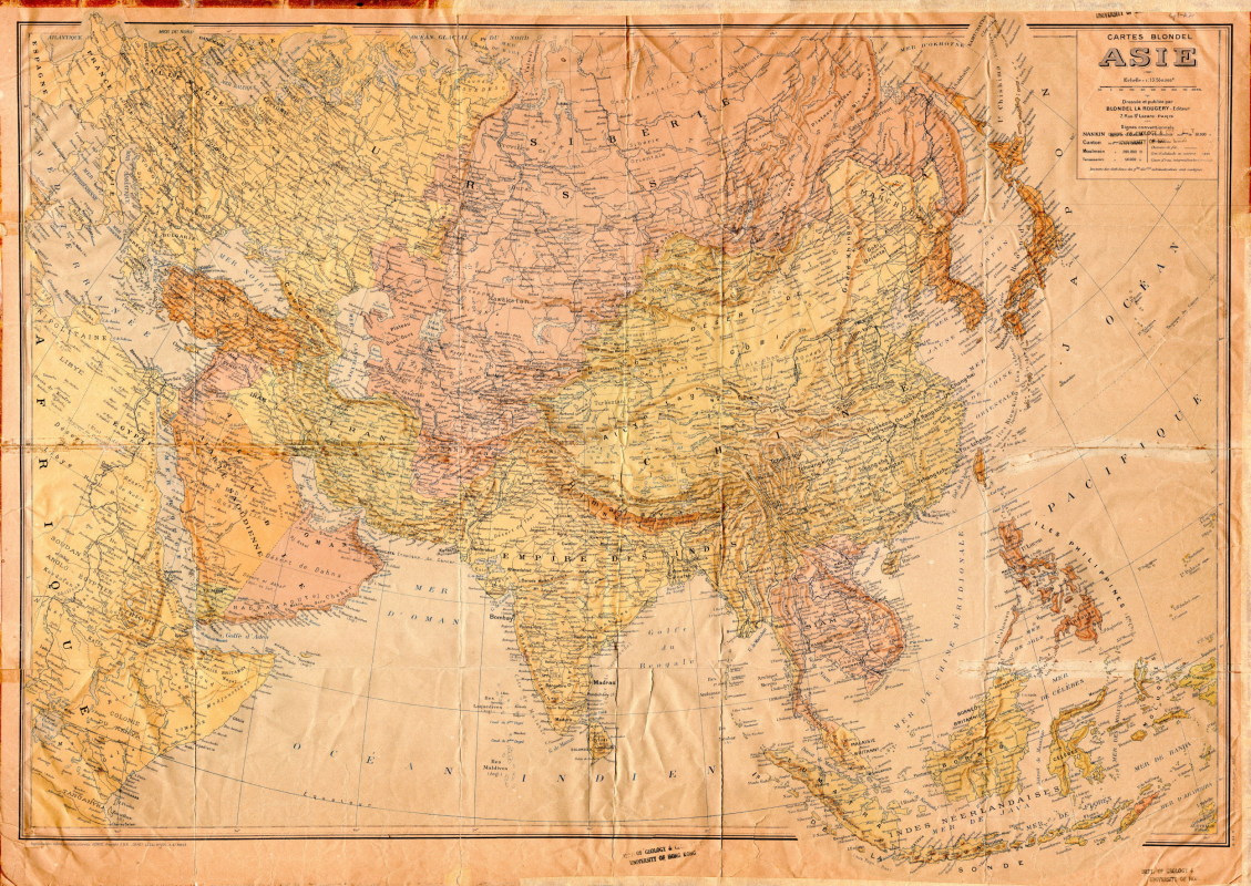
Cartes blondel, Asie [Natural scale, 1: 13,550,000; 1947]
/ Dressie par Blondel la Rougery
GMD
Map
Language
French
Classification
F7400.s13550 1947
Publisher
Paris, Blondel la Rougery, 1947
Subject
Maps -- Asia
Description
1 map : col. ; 66 x 92 cm. Map of Asia in French.
Notes
Scale 1: 13,550,000.
No.
Barcode
Branch
Location
Call No.
Status
Due Date
1
Y000143
Library
Library
F7400.s13550 1947
Available
--
Total 1 Records , Current 1 / 1 Page:
Previous
Next
Related Resources
Atlas of geo-science analyses ...
Lu di wei xing ying xiang Zhon...
Concise atlas of the world / ...
Atlas of world history : from ...
The world, Afghanistan to Zimb...
National geographic atlas of t...
Desk reference atlas / [cartog...
National Geographic satellite ...
Zhongguo sheng tai huan jing d...
Catalogue of Admiralty charts ...
Atlas of Paleoclimates and pal...
Agro-climatic atlas of Europe ...
New secondary atlas.
Index-catalog of nautical char...
The Times atlas of the world. ...
Collins-longmans new secondary...
A social atlas of London [by] ...
Atlas of disease mortalities i...
Third World atlas
Di er Songhua jiang huan jing ...