Login
Menu
Return
Resources
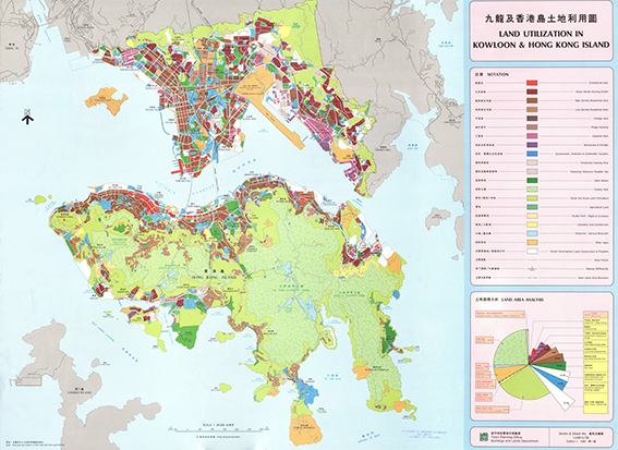
Land Utilization in Kowloon & Hong Kong Island = 九龍及香港島土地利用圖. [1987]
Town Planning Office, Buildings and Lands Department
GMD
Map
Language
English & Chinese
Classification
R7941 G4 1987
Publisher
Hong Kong, Town Planning Office, Buildings and Lands Department, 1987
Subject
HONG KONG ISLAND
Harbors -- Hong Kong
Land use - Hong Kong
Description
Map: col.; 84 x 62 cm.
Notes
Digitized by Vinci Cheung, map intern 2020
No.
Barcode
Branch
Location
Call No.
Status
Due Date
1
VC0014
Library
Cabinet 7
R7941 G4 1987
Available
--
Total 1 Records , Current 1 / 1 Page:
Previous
Next
Related Resources
Atlas of geo-science analyses ...
Lu di wei xing ying xiang Zhon...
Concise atlas of the world / ...
Atlas of world history : from ...
The world, Afghanistan to Zimb...
National geographic atlas of t...
Desk reference atlas / [cartog...
National Geographic satellite ...
Zhongguo sheng tai huan jing d...
Catalogue of Admiralty charts ...
Atlas of Paleoclimates and pal...
Agro-climatic atlas of Europe ...
New secondary atlas.
Index-catalog of nautical char...
The Times atlas of the world. ...
Collins-longmans new secondary...
A social atlas of London [by] ...
Atlas of disease mortalities i...
Third World atlas
Di er Songhua jiang huan jing ...