
| GMD | Nautical Chart |
| Language | English |
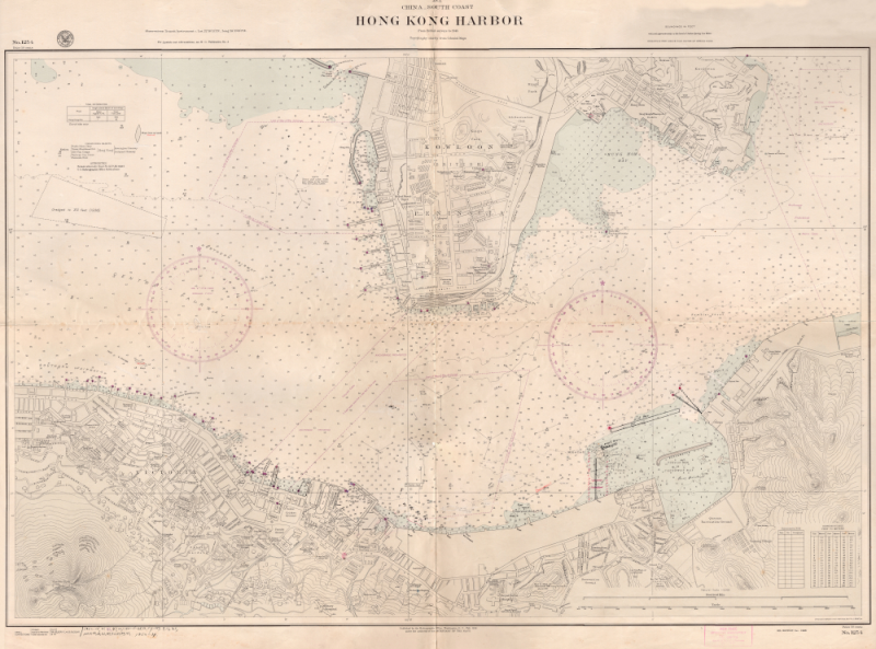
| Classification | HO 1254 1954 |
| Publisher | US Navy Hydrographic Office, Washington, D.c., 1954 |
| Edition | 1946 |
| Subject | Old Map - Hong KongHong KongVICTORIA HARBOUR |
| Description | col. 106 x 75cm. from British surveys to 1945, published by the hydrographic office, Washington, dc feb. 1918 under the authority of the secretary of the navy. |