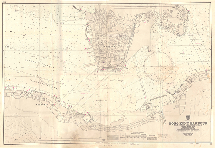
LoginMenu
ReturnResources
South China Sea. Hong Kong Harbour. [natural scale 1:6000, 1971]
GMDNautical Chart
LanguageEnglish
ClassificationBA 1459 1971
PublisherBritish Admiralty, London, 1971
Edition1966
SubjectHONG KONG ISLANDHarbors -- Hong KongOld Map - Hong KongKowloonNautical chart --Hong Kong (South China Sea)
DescriptionMap: b&w.; 104 x 71 cm.

Notes

Digitized by Vinci Cheung, map intern 2020. under the supertintendence of Rear Admiral G.S.C., Hydographer of the Navy.
No.
Barcode
Branch
Location
Call No.
Status
Due Date
1
VC0012
Library
Cabinet 7
BA 1459 1971
Available
--
Total 1 Records , Current 1 / 1 Pageļ¼šPreviousNext
Related Resources