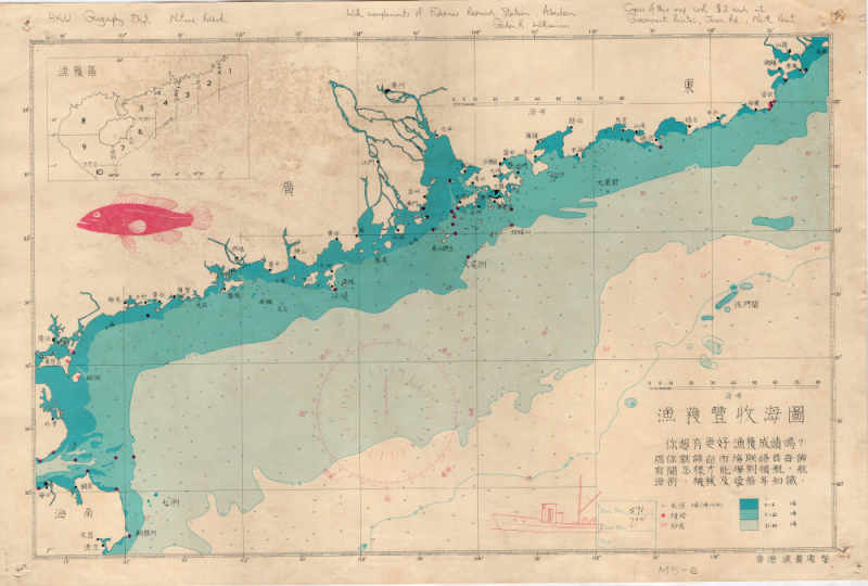
LoginMenu
ReturnResources
漁獲豐收海圖[n.d.]
GMDMap
LanguageChinese
ClassificationF 7941 H5L2 nd
Publisher香港漁農處,Agriculture, Fisheries and Conservation Dept.,, Hong Kong
SubjectNautical Charts -- Hong Kong.Guangdong Sheng 廣東省 (China)Hainan Island 海南島文尾洲pictorial map - hong kongfishery- Hong KongOld Map - Hong Kong
Description

1 map: col.; 68.5x45.5cm.

Notes

Map from Agriculture, fisheries and conservation Dept., for advertising the fisherman about the knowledge of navigating. an advertisement to the fishing industry they monitor. It was likely distributed for free to interested fisherman. 1960 circa.


The map shows the fishing grounds in the area, highlighting water depths and obstructions. In red is a compass rose, accompanied by a fishing boat and a bright fish. In the top left is an inset showing fishing districts 漁獲區. Two scales help the user to orient themselves.
No.
Barcode
Branch
Location
Call No.
Status
Due Date
1
CY0011
Library
Cabinet 7
F 7941 H5L2 nd
Available
--
Total 1 Records , Current 1 / 1 Page:PreviousNext