
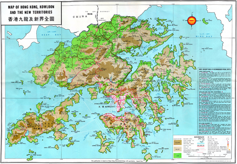
| Other Title | Map of Hong Kong, Kowloon, and the New Territories / Peak Map |
| GMD | Map |
| Language | English & Chinese |
| Classification | F7940 s100 1969 |
| Publisher | Shell Company of Hong Kong Ltd., Hong Kong, 1969 |
| Subject | Old Map - Hong KongHong KongKowloon PeninsulaNew TerritoriesPeakCentral District 中環 (Hong Kong)Wan chai |
| Description | 4 maps on 1 sheet; both sides, col.; sheet 77 x 53.5 cm., folded in cover 12.5 x 26.5 cm. |