
| GMD | Map |
| Language | English & Chinese |
| Classification | P 711.4095125 H7 c3 LH3/27 |
| Publisher | Crown Lands & Survey Office, Hong Kong, 1969 |
| Subject | Old Map - Hong KongCity Planning - Hong Kong - Victoria HarbourCity Planning - Hong Kong.Central District 中環 (Hong Kong) |
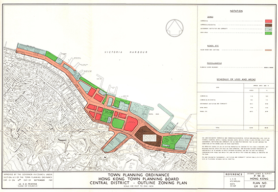
| Description | Map: col.; 63 x 44 cm.
approved by the governor-in -council under section 8(I) of the town planning ordinance 131 on 16th day of september 1969. reference L.S.O. 472/HPG/63 |