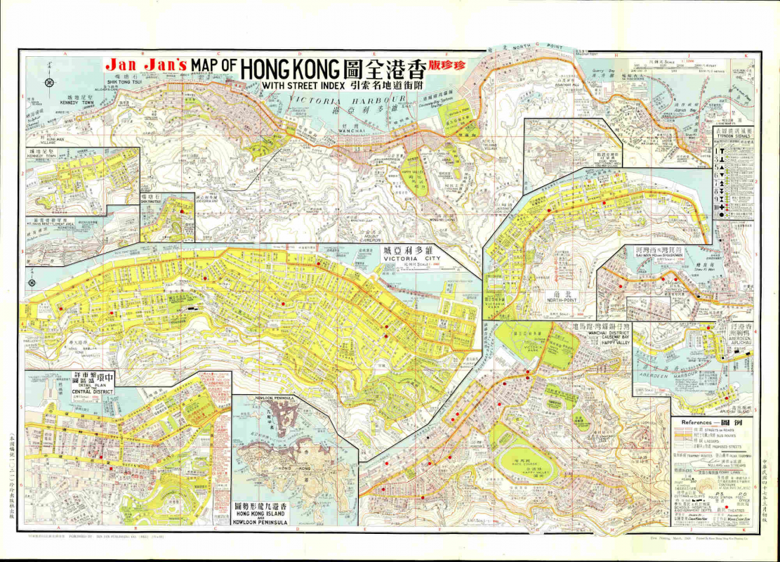
LoginMenu
ReturnResources
Jan Jan's Map of Hong Kong=珍珍版香港全圖 [Natural Scale, 1: 12500; 1958]
Other Title
摩星嶺徙置區 / 石塘嘴 / 維多利亞城 / 中環繁盛市區詳圖 / 香港九龍形勢圖 / 灣仔.銅鑼灣.跑馬地 / 香港仔鴨脷洲 / 筲箕灣及西灣河 / 柴灣徙置區興華村
GMDRare map
LanguageEnglish & Chinese
ClassificationF 7941 P1 1958
Publisher珍珍出版社, Hong Kong, 1958
SubjectOld Map - Hong KongCentral District 中環 (Hong Kong)Aberdeen Island /AP Lei Chau 鴨脷洲 (Hong Kong)North Point 北角 (Hong Kong)Maps, Street -- Hong kongKennedy town - Maps, streetVictoria city
Description15 maps on 1 sheet; both sides, col.,; 78x108 cm. with detail bus route

Notes

街道及地名索引; 香港巴士路綫圖表; 跨港交通計劃圖; 跨港四種交通計劃; 政府浮筒食水深度; 港內渡海小輪航線表; 港外小輪航線表; 香港港口碇泊區及浮筒位置圖

street and gazetteer index.
bus routine schedule.
traffic plan.
harbour mooring buoy draught.
ferry routes.

according to Mapping Hong Kong. A Historical Atlas, it is probably the first street guide produced in Hong Kong.
No.
Barcode
Branch
Location
Call No.
Status
Due Date
1
KC0022
Library
Map room (Antique)
F 7941 P1 1958
Available
--
Total 1 Records , Current 1 / 1 Page:PreviousNext