Login
Menu
Return
Resources
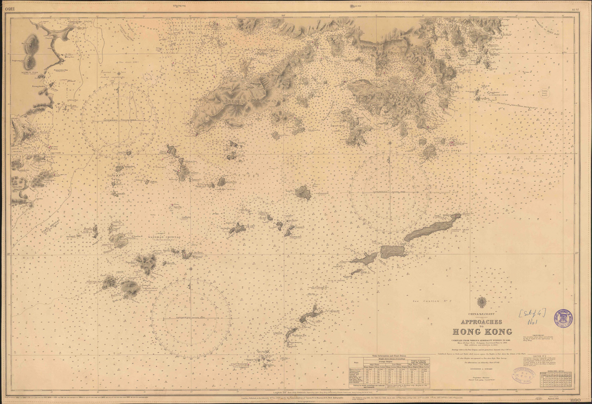
China - S.E. Coast. Approaches to Hong Kong. [Natural scale, 1:108,440; 1956]
GMD
Nautical Chart
Language
English
Classification
BA_1180 1956
Publisher
Admiralty, London, 1956
Subject
Nautical Charts -- Hong Kong
Old Map - Hong Kong
Series
Admiralty Charts
1180
Description
1 chart: 69 x 101 cm. ill.
Notes
Compiled from various admiralty surveys to 1946. Macao harbour from Portuguese government plans to 1946. with additions and corrections to 1950.
No.
Barcode
Branch
Location
Call No.
Status
Due Date
1
L00193
Library
Library
BA_1180 1956
Available
--
Total 1 Records , Current 1 / 1 Page:
Previous
Next
Related Resources
China - S.E. Coast. Approaches...