Login
Menu
Return
Resources
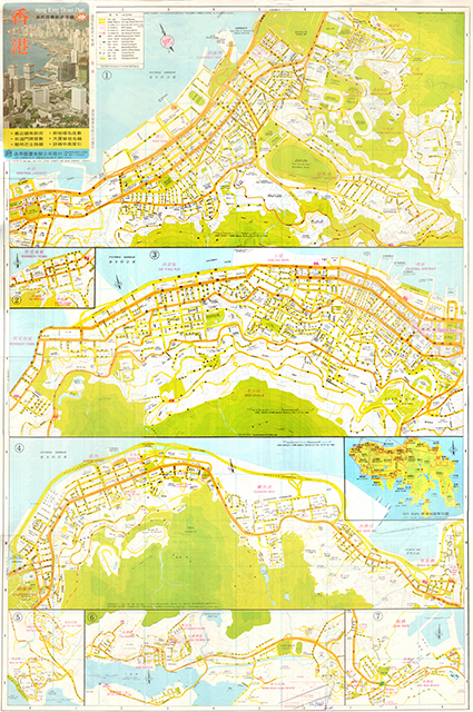
香港. Hong Kong Street Plan = 通用版最新街道圖. [1984]
GMD
Map
Language
English & Chinese
Classification
F 7942.H63 1984
Publisher
Hong Kong, 通用圖書有限公司, 1984
Subject
HONG KONG ISLAND
Harbors -- Hong Kong
The Peak, Hong Kong
Description
5 maps: col.; 88 x 59 cm.
No.
Barcode
Branch
Location
Call No.
Status
Due Date
1
VC0013
Library
Cabinet 7
F 7942.H63 1984
Available
--
Total 1 Records , Current 1 / 1 Page:
Previous
Next
Related Resources
Atlas of geo-science analyses ...
Lu di wei xing ying xiang Zhon...
Concise atlas of the world / ...
Atlas of world history : from ...
The world, Afghanistan to Zimb...
National geographic atlas of t...
Desk reference atlas / [cartog...
National Geographic satellite ...
Zhongguo sheng tai huan jing d...
Catalogue of Admiralty charts ...
Atlas of Paleoclimates and pal...
Agro-climatic atlas of Europe ...
New secondary atlas.
Index-catalog of nautical char...
The Times atlas of the world. ...
Collins-longmans new secondary...
A social atlas of London [by] ...
Atlas of disease mortalities i...
Third World atlas
Di er Songhua jiang huan jing ...